
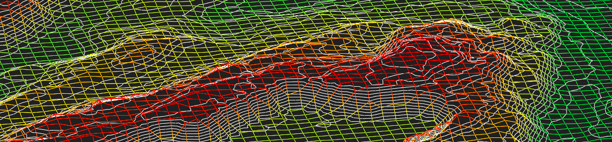
ESPA Systems software is organised into two suites that share common project data from orientation to stereoscopic mapping. Orientation of images is done either with ESPA Systems software or imported from other systems. Once oriented, digital aerial images are ready-made for stereoscopic 3D data acquisition. ESPA Systems’ LIDAR data processing tools combine together georeferenced point data, digital aerial imagery, stereoscopy and grid elevation models. Take a tour through our software offerings to see what could inspire you and your organisation.
ESPA 3D for stereoscopic data acquisition and LIDAR data processing.
ESPA 3D Pro for digital aerial triangulation and orthophoto production & mosaicking.